Wander Lord

Interesting on art, nature, people, history

Category Archive: Countries and cities

Roraima – lost world

Roraima - lost world

Roraima – lost world


The entire south-eastern part of Venezuela, located in South America, is occupied by La Gran Sabana – the great savanna, which is crossed by the Caroni River, the right tributary of the Orinoco. There are many unusual plateaus with steep, inaccessible walls resembling huge tables. One of the greatest tables is Roraima. It is near Venezuela’s border with Brazil and for a long time it was inaccessible to people. Only daredevils from the Indian tribes from time to time made their way to the enchanted land, as they thought. They told about a wonderful plateau with cascades of waterfalls and magical rivers with red and black waters.
The first European researcher who visited this area in the middle of the XIX century was German Robert Hermann Schomburgk.
More »

Mysterious Atlantis – lost continent

Mysterious Atlantis - lost continent

Mysterious Atlantis – lost continent


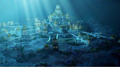
The legend about Atlantis appeared more than 2,500 years ago. Atlantis was described as a continent-sized area with rich soil, plentiful pure water, abundant vegetation and animals, natural hot springs. Slaves performed manual labor, allowing a large elite to pursue knowledge, enjoy sporting events, and continually improve upon an already thriving society.
The idea of Atlantis was first expressed in the works of Plato, who stressed that a perfect world exists in Ideas.
In 1882, Ignatius Donnelly (1832-1901) published Atlantis: The Antediluvian World, arguing that all civilization is an inheritance from Atlantis.
More »

Moldova – land of sunshine, grapes and wine

Moldova – land of sunshine, grapes and wine

Moldova – land of sunshine, grapes and wine


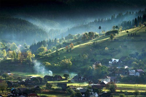
Moldova is a country in south-central Europe. Its official name is Republic of Moldova. Its area is 33,843 square kilometers. The country borders Romania and Ukraine. Moldova is a landlocked nation and thus borders no oceans or seas.
On the map, Moldavia looks something like a bunch of grapes—highly appropriate for a country famed for its vineyards. It is a land of sunshine, grapes and wine.
From 700 B.C. until A.D. 200, the region that is now Moldova was under the control of the Scythians and later the Sarmatians. From about A.D. 200 until the thirteenth century the Goths, Huns, Avars, and the Mongols or Tatars ruled the area. In the mid-fourteenth century the people of Moldova united and formed an independent state – the principality of Moldavia.
More »

Amazing Belem Tower

Amazing Belem Tower

Amazing Belem Tower


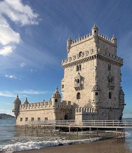
This tower looks like a miniature castle. It was built in the era of the Portuguese King John II the Perfect Prince (1455-1495). The place for it was chosen on the bank of the Tagus River, which flows into the Atlantic Ocean. The bastion was not only a defensive structure which protected Lisbon from pirates and other uninvited guests, but also a lighthouse. The Portuguese navigators went on long journeys from there.
King Juan II planned to build multiple defensive structures on the bank of the Tagus River at the entrance to the port: two bastions on the right bank of the river and one on the left. Two of them were built during the life of the monarch, and construction of Belem had just begun.
More »

Norway – Land of Fjords and Mountains

Norway - Land of Fjords and Mountains

Norway – Land of Fjords and Mountains


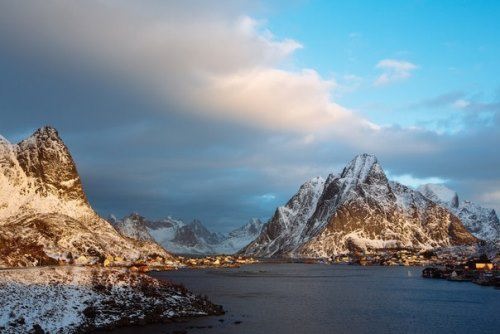
Norway is a country in northern Europe, part of Scandinavia. It shares borders with Sweden, Finland, and Russia. The Arctic Ocean lies to the north, and the Atlantic Ocean is to the west. The North Sea lies to the south. Its area is 324,220 square kilometers. Its official name is Kingdom of Norway.
Norway is covered with mountains and fjords. The longest and deepest fjord is Sogne Fjord. The two highest peaks are Galdhø Peak and Mount Glitter. Glaciers can be found in some mountain ranges. The country also contains more than 1,500 glaciers and the Jostedals Glacier is the largest in Europe.
More »

Morocco – amazing country

Morocco – amazing country

Morocco – amazing country


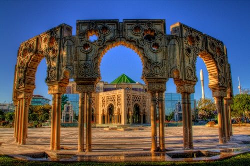
Morocco is situated at the northwestern corner of Africa, along the Strait of Gibraltar. Its official name is Kingdom of Morocco. Its area is 446,550 square kilometers. Morocco shares land borders with the two Spanish enclaves of Ceuta and Melilla, Algeria, and the Western Sahara.
Morocco is the only country in Africa with coastlines on both the Atlantic Ocean and the Mediterranean Sea.
The people of Morocco are mostly Arabs and Berbers. Arabic is the main language. Islam is the national religion.
Traders from the Middle East began arriving in North Africa more than 2,000 years ago. The Roman Empire controlled the region in the AD 300s. In 692 Arab armies arrived. From the 1000s to the 1200s Berber kingdoms ruled Morocco.
More »

Mongolia – wonderful country

Mongolia – wonderful country

Mongolia – wonderful country


Mongolia is located in east-central Asia between China and Russia. It is the world’s largest landlocked nation. Its area is 1,565,000 square kilometers. It borders Russia, China, Kazakhstan.
Mongolia has two climatic zones: the continental zone in the north, and the desert in the south.
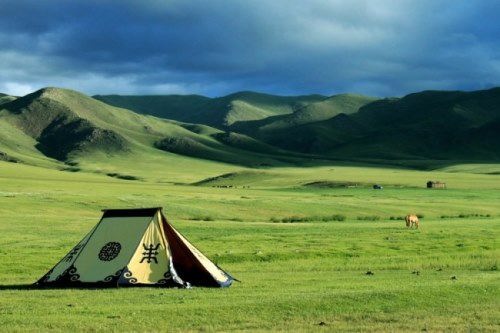
Mongolia is famous for its useful and beautiful grasslands. The steppe regions, historically occupied by nomadic herders, are covered with many varieties of grasses. 10 percent of Mongolia has forest and woodland cover. The major agricultural products are wheat, potatoes, oats, and barley.
More »